La Niña has officially come to an end after six months of wet and wild weather around Australia.
The weather system was declared in late September 2020 and has contributed to above-average rain over large parts of the country throughout spring and summer.
Summer 2020–21 was the wettest since 2016–17, and December 2020 was the third wettest December since national records began in 1900.


Rainfall for the last three months was 29 per cent above average Australia-wide.
The end of La Niña has coincided with the end of the NSW bushfire season, which as has been one of the wettest on record.
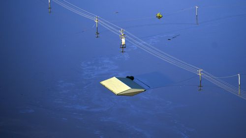
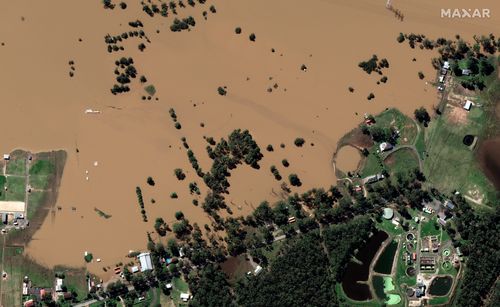
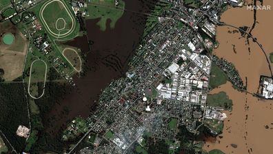
Australia’s east coast is still recovering from a major flood disaster which devastated Queensland and New South Wales in recent weeks with some locations recording more than 800mm in just a few days.
Four named tropical cyclones occurred within the Australian region during summer 2020–21, with tropical cyclone Imogen causing devastation over the Queensland Gulf Country on January 3.

Senior climatologist Dr Naomi Benger from the Bureau of Meteorology said it’s important to remember that even though the La Niña is over, there’s always still the possibility of significant rainfall.
“We’re forecasting above-average rainfall to continue into April for northern parts of Australia,” she said.

“The Madden-Julian Oscillation moving through the tropics is expected to increase cloudiness and rainfall in far northern Australia over the next week or two. This also brings an increased risk of tropical low or tropical cyclone activity.”
Dr Benger encouraged people to remain vigilant when extreme weather is forecast, including monitoring the Bureau’s warnings for information relevant to them.
This content first appear on 9news

