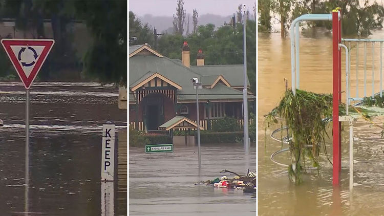
Thousands of people across NSW have been evacuated over the past 36 hours as the state experiences a once in 100-year flood event.
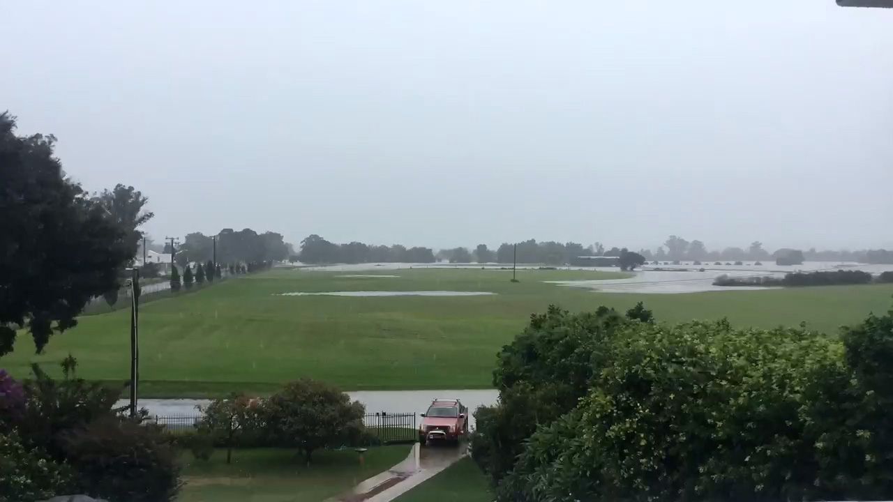
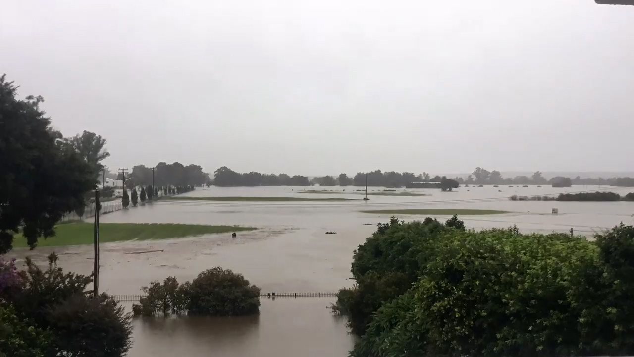
The timelapse, purportedly filmed this weekend near the Windsor boat ramp, documents floodwaters submerging a vast tract of land.
– Use the photo slider below to see how waters quickly rose

Residents along the Hawkesbury River have been placed on high alert since the weekend, as flooding reached levels not seen for 60-years.
Five major tributaries pour water into the Hawkesbury-Nepean valley during heavy rains, and natural chokepoints impede the flow of water to the sea, which can cause devastating and extreme flooding.
The NSW State Emergency Service has ranked the valley one of the highest flood dangers in Australia.
The volume of water spilling from Warragamba dam today is currently 300 gigalitres per day, down from Sunday’s peak of 500 GL/day. Sydney Harbour is estimated to hold about 500 gigalitres in total.

But with more rain forecast by the Bureau of Meteorology in coming days, the likelihood is that the spill rate could rise to a second peak, possibly midweek.
Other Sydney supply dams are also receiving inflows, WaterNSW said, with Nepean, Cataract, Cordeaux and Avon dams all spilling.
WaterNSW estimated, on current forecasts, it is likely Warragamba will spill for at least another week.
The Bureau of Meterology has forecast another 50-100mm to fall in the Sydney region in the next few days, while even more is expected on the NSW South Coast.
The person who filmed the timelapse could not be contacted.
This content first appear on 9news


