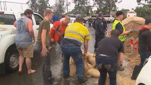
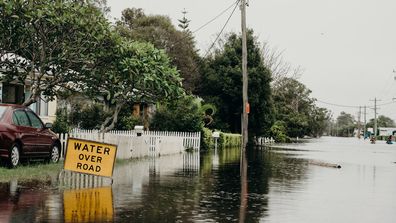
The Bureau of Meteorology says the big wet pummelling NSW is “far from over” with 10 million Australians currently under a weather warning as two major systems collide.
The BOM said every mainland state and territory except Western Australia is impacted by the weather event.
Warnings for heavy rain, damaging winds and heavy surf cover a size area similar to Alaska, it said.
“It may have been going for days but unfortunately this situation is far from over,” the BOM says.
“You can see rain still falling in flood areas, with more forecast for coming days.”
Earlier, the bureau was warning parts of NSW could see another 300mm of rain in the coming days.
Between 200mm and 300mm is forecast for the South Coast, while the Mid North Coast and Western and North West Slopes and Plains could see another “couple of hundred” millimetres.

Another 50mm to 100mm is forecast to fall in the Sydney region.
“We are urging residents across the state to stay on top of the warnings issued and the advice of emergency services,” the BoM’s Jane Golding said.
Nearly one metre of rain has already fallen in many parts of the state.
“Over the course of this event, we have seen really intense rainfall rates and has fallen on very wet catchments,” Ms Golding said.
“We have seen some increased flooding and pretty catastrophic impacts across eastern New South Wales.”
Severe weather warnings have been reissued for large parts of the state, and residents in Dubbo, Armidale, Tamworth have warned to be on alert for the next 24-36 hours.

‘The worst flooding I have experienced’
Parts of Sydney, including Penrith, have seen the worst floods in more than 50 years.
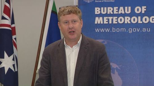
“I have been a flood forecaster with the bureau for 20 years and this is probably the worst flooding that I have experienced and I have had to forecast,” Justin Robinson from the BoM said.
He urged people to keep across warnings from the BoM and the SES and warned: “It is still early days with the rainfall forecast.”

Mr Robinson also said many catchment areas where the rain is falling “are pretty much totally saturated”.
“We’ve had recent flooding there, so this means this has increased the flood risk so most of the rain pools as run-off into the rivers and then causes widespread flooding which affects local communities, rivers, transport routes, agriculture.
“This is like a statewide flood event, we see it impacting multiple people and multiple agencies across New South Wales.
“I would like to really remind people that it is a changing situation.
“It is an evolving flood and weather event.”
People are urged people to stay across updates from emergency services.
This content first appear on 9news

