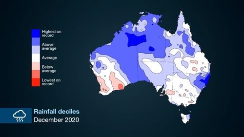
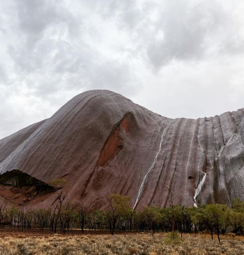
Australia experienced its wettest, coolest summer in at least five years due to La Niña.
Rainfall was above average across the entire season, and December 2020 was the third-wettest since records began in 1900, according to the Bureau of Meteorology (BoM).
While we are past the height of La Niña in Australia, it is not quite over yet, climate expert Dr Andrea Taschetto said.

“What we are seeing now is actually past the peak of La Niña event and it’s slowly fading,” she explained.
“We are expecting that La Niña will fade and go back to normal conditions by April/May this year.”
“Without La Niña we expect to receive normal average rainfall in winter, not exaggerated as we’ve seen during the summer and autumn.”
Dr Taschetto is an Associate Professor and ARC Future Fellow at UNSW Science’s Climate Change Research Centre, as well as a chief investigator at the ARC Centre of Excellence for Climate Extremes.

She said the weather system La Niña usually brings more tropical cyclones, but that was not the case over summer.
“But there were a lot of tropical lows, which are less intense weather systems that can bring significant amounts of rain for northern Australia, and that’s what happened this season,” Dr Taschetto said.
“Another effect of La Niña around Australia is marine heatwaves. Marine heatwaves are extreme ocean temperature events that persist for several days, sometimes months, and can develop due to La Niña in areas like the Ningaloo Reef in Western Australia.

“These events have massive impact for marine ecosystems, and coastal communities dependent on economic activities such as fishery and oyster farmers.
“The impacts of La Niña and El Nino reverberate across the globe,” Dr Taschetto said.
Australia is now moving back towards El Nino which means more dry weather is forecast.
This content first appear on 9news

